
For decades, the standard data collection model for recreational fisheries along the Texas coast resembled a giant jigsaw puzzle with a massive, glaring piece missing from the center. When an angler pulls up to a public boat ramp at the end of a long day, state biologists are often waiting with measuring boards and clipboards to conduct dockside intercept interviews. They count the fish in the cooler, measure their lengths, and weigh the harvest. This method provides an accurate snapshot of what is being kept, but it completely ignores the thousands of fish that are caught, handled, and released back into the water throughout the day.
In 2026, that historical data gap is finally being closed by a cutting-edge citizen-science initiative that places the power of fisheries management directly into the hands of recreational anglers. Known as the disCARD study, this regional project has quietly expanded across major Texas bay systems and nearshore waters. By converting daily catch-and-release interactions into high-fidelity digital data points, the project is changing how state and federal agencies evaluate fish populations, measure post-release survival rates, and design the regulations that dictate how we fish.
The Invisible Catch: Confronting the Reality of Recreational Discards
The term “discard” refers to any fish an angler releases back into the water instead of keeping. In a highly regulated fishery like the Texas Gulf Coast, discards are an unavoidable reality of daily life on the water. Anglers routinely release fish because they fall outside a strict slot limit, because a daily bag limit has already been filled, or because a specific species is under a seasonal closure. While these regulations are vital for protecting vulnerable fish stocks from overharvesting, they naturally generate a massive volume of unrecorded releases.
Historically, the Marine Recreational Information Program (MRIP) attempted to quantify these discards through retrospective mail surveys and telephone intercepts. The fatal flaw in this approach is its reliance on human memory; asking a weekend angler to recall exactly how many sub-legal fish they released six weeks prior introduces an unacceptable margin of error. For fisheries managers trying to build accurate stock assessments, this lack of precise data creates a severe cloud of uncertainty. Without knowing how many fish are being caught and released, and under what environmental conditions, scientists are forced to build overly conservative management models to protect the resource, which can frequently lead to unnecessarily restrictive regulations.
From Paper to Smartphone: Inside the Hybrid disCARD Architecture
The breakthrough of the disCARD project lies in its beautifully simple, low-barrier user interface. Funded collaboratively by NOAA Fisheries and the Gulf States Marine Fisheries Commission, the multi-state project kicked off its data collection phase in mid-May 2026. Led by Dr. Marcus Drymon of Mississippi State University and the Mississippi-Alabama Sea Grant Consortium, the study utilizes a unique hybrid system that bridges old-school physical logging with modern automated processing.
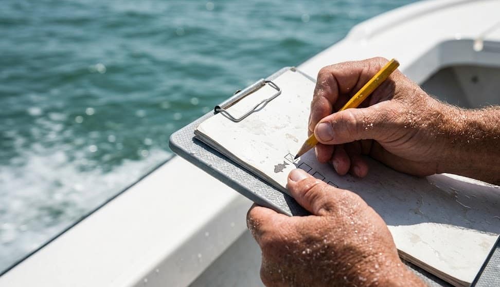
Anglers participating in the study are handed physical, weather-resistant paper cards—cleverly dubbed “disCARDs”—at dockside intercept locations. While on the water, the angler uses a pencil to quickly log the specific details of each released fish. Once the fishing day concludes, the angler does not need to mail a form or log into a complex state web portal. They simply snap a clear smartphone photograph of the completed card and text the image via a messaging app of their choice, such as SMS, WhatsApp, or iMessage.
The backend infrastructure, developed in partnership with Bluefin Data’s existing VESL platform, uses advanced machine learning and image recognition to automatically extract the handwritten data from the photograph. This automated pipeline strips away the administrative bottlenecks that have crippled past citizen-science data projects, delivering clean, real-time data directly to state fisheries managers within hours of the angler leaving the boat ramp.
| Data Category Collected | disCARD Hybrid Method | Traditional Intercept Survey | Tactical Value for Fishery Managers |
| Release Reason | Logged immediately on the water (size, bag limit, closed season) | Dependent on post-trip recall hours or days later | Pinpoints exactly which regulations generate the most discards |
| Depth of Capture | Recorded instantly per individual fish | Rarely captured or generalized by broad water zones | Crucial for calculating barotrauma and post-release mortality |
| Immediate Fish Fate | Categorized instantly (swam down actively, floated, predated) | Completely unmeasured once released over the gunwale | Refines the standard mortality buffers used in stock assessments |
The Texas Footprint: Saturation Sampling From Galveston to the Lower Laguna Madre
While the disCARD project spans the entire five-state Gulf region, its implementation within Texas is being meticulously customized by the Texas Parks and Wildlife Department Coastal Fisheries Division. Under the guidance of Hanna Bauer, a Program Coordinator for the study and the Policy and Education Team Lead for TPWD’s Coastal Fisheries Division, the agency has initiated a targeted 18-month saturation sampling campaign.
The Texas portion of the study is intentionally focused within three distinct, high-pressure coastal matrices: the Galveston Bay system, San Antonio Bay, and the Lower Laguna Madre. By concentrating resources in these specific zones, TPWD is able to capture data from vastly different angling environments, ranging from the deep, offshore structure complexes off Galveston to the hyper-saline, ultra-shallow seagrass flats of the lower coast.
While the overarching Gulf project primarily tracks offshore reef species like red snapper, greater amberjack, gray triggerfish, cobia, and gag grouper, the implications for inshore management are immense. Robin Riechers, Director of TPWD Coastal Fisheries, has long emphasized that modernizing recreational data collection is the single greatest hurdle facing state managers. The infrastructure tested during this 18-month disCARD pilot represents the blueprint for how Texas intends to track catch-and-release metrics across all state waters, paving the way for a more dynamic approach to nearshore and inshore species.
Parallels on the Flats: How Citizen Science Reshapes Inshore Redfish Management
The shift toward user-submitted, real-time data logging is already deeply intertwined with the future of the state’s most iconic inshore sportfish: the redfish. The hybrid methodology currently being perfected by the disCARD study mirrors the exact analytical philosophy behind the ongoing expansion of Texas redfish tagging programs, which rely entirely on everyday anglers reporting physical capture data to map fish movement and localized population densities.
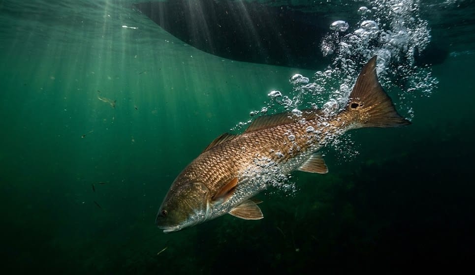
For a redfish angler, understanding discard metrics is becoming a critical component of seasonal strategy. During the blistering heat of a Texas summer, a slot redfish caught in a shallow backlake or a massive bull red pulled from a deep beachfront channel undergoes severe physiological stress. If an angler handles that fish poorly or takes too long removing a hook, the fish may suffer from delayed post-release mortality. Historically, fisheries scientists had to use broad, generalized mathematical estimates to guess how many released redfish actually survived.
By proving that anglers can easily and accurately log release metrics through simple smartphone photo submissions, the disCARD study opens the door for hyper-localized discard mortality tracking. If data shows that post-release survival drops significantly in specific bay complexes during periods of low dissolved oxygen or extreme water temperatures, managers can work with the angling community to promote targeted handling education, rather than resorting to blunt-force regional closures.
Cultivating Angler Trust in Data-Driven Fisheries Management
Beyond the immediate scientific dividends, the true value of the disCARD project lies in its ability to bridge the historical trust gap between recreational anglers and state regulatory agencies. For years, a common grievance among tournament teams and coastal guides was that state stock assessments felt completely disconnected from the actual realities observed on the water. Anglers frequently complained that they were seeing an abundance of fish, yet management models remained rigidly conservative due to a lack of verifiable data.
The modern NOAA Fisheries data modernization initiative directly addresses this frustration by actively inviting the angling community into the scientific process. When a wade fisherman or a charter captain texts a photo of their catch card, they are no longer just passive observers of fisheries policy; they are actively contributing the hard data required to keep seasons open and bag limits fair.
As the 18-month study progresses through the heart of the 2026 season, the data flowing out of Galveston, San Antonio Bay, and the Lower Laguna Madre will provide an unprecedentedly clear picture of our coastal resource. By accurately counting the fish that are returned to the water, Texas is ensuring that its marine conservation strategies are built on a foundation of absolute fact, preserving the resilience of our bays and the longevity of our sport for generations to come.